← Welcome to Calgary
Visiting Calgary · Bow, Elbow, 1,000 km of trails

River & pathways

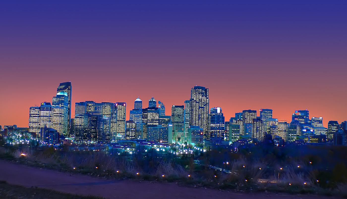
Calgary began where the Bow and the Elbow meet, at Fort Calgary in 1875, and the rivers still run through the middle of the city. Along them runs the pathway network: about 1,000 km of paved regional pathways and almost 100 km of trails, by the City’s count.

You can walk or cycle from downtown to wild-feeling parks without crossing a road. In summer, half the city is on the river in a raft; by Calgary bylaw everyone on board needs a life jacket.

Pathways~1,000 km
Trails~96 km
Life jacketsRequired by bylaw
RiversBow and Elbow

Facts checked November 2026. Opening hours and prices change: follow the official link for each place before you go.

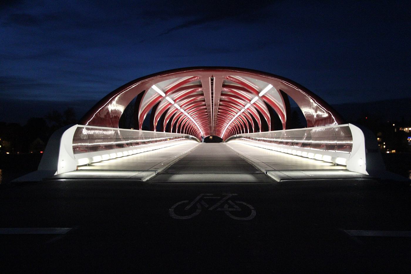
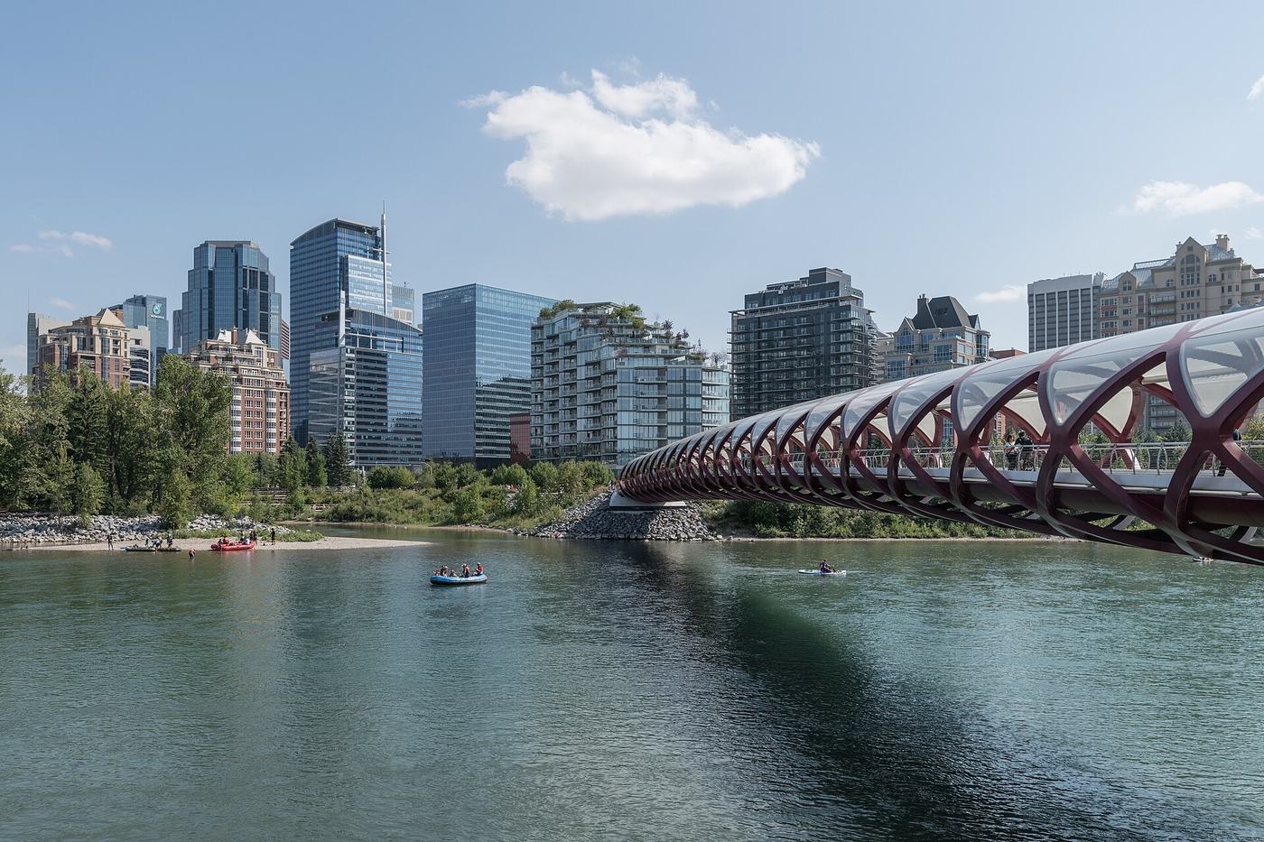
Peace Bridge
Photo: Flickr user “Thank you for visiting my page”
01

Peace Bridge

Downtown to Sunnyside

What it offersThe red, tube-shaped footbridge by Santiago Calatrava, opened in 2012, carries walkers and cyclists across the Bow from downtown to Sunnyside and Kensington. It is best after dark, when it is lit from inside.

  • Walk across, then follow the river west to Kensington for coffee.
Prince’s Island Park
Photo: Scott5114
02

Prince’s Island Park

Beside downtown, on the Bow

What it offersAn island park a few steps from the office towers: lawns, lagoons, a café by the water, and the main stage for the Calgary Folk Music Festival and Shakespeare by the Bow in summer.

  • Reach it by footbridge from Eau Claire.
  • Bring a picnic on a summer evening.
St. Patrick’s Island
Photo: KatherineCraw 18
03

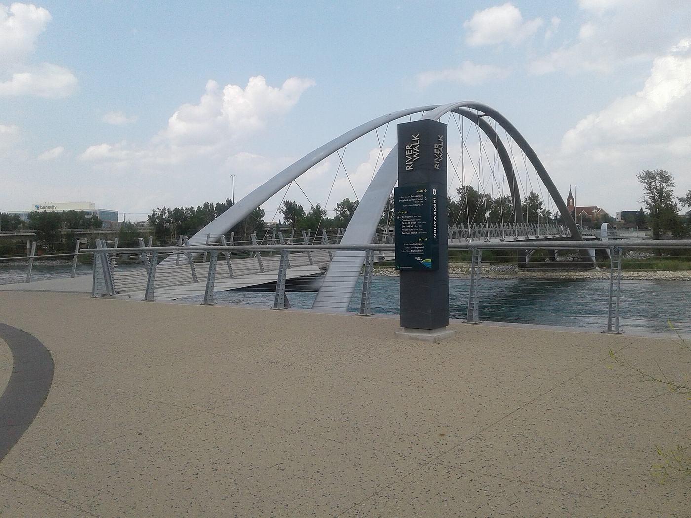
St. Patrick’s Island

East Village

What it offersAn island park reopened in 2015 with a hill to sit on, a pebble beach on a quiet river channel and playgrounds, reached by the George C. King Bridge with its leaning arches.

  • Pair it with the Central Library and Studio Bell next door.
Bow River pathway
Photo: Flickr user “Thank you for visiting my page”
04

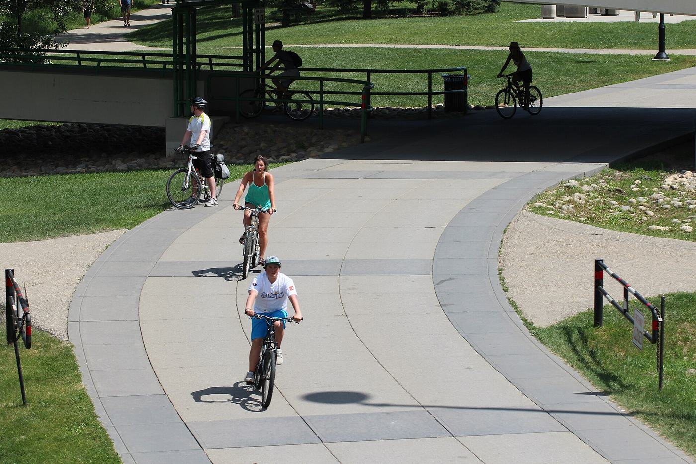
Bow River pathway

Through the city

What it offersThe spine of the network, following the Bow across the city. Rent an e-bike or e-scooter through the apps in season, or walk the stretch between the Peace Bridge and East Village for the best of the river.

  • Pathways are shared: keep right and ring before you pass.
Edworthy Park and the Douglas Fir Trail
Photo: Daniel from Glasgow, United Kingdom
05

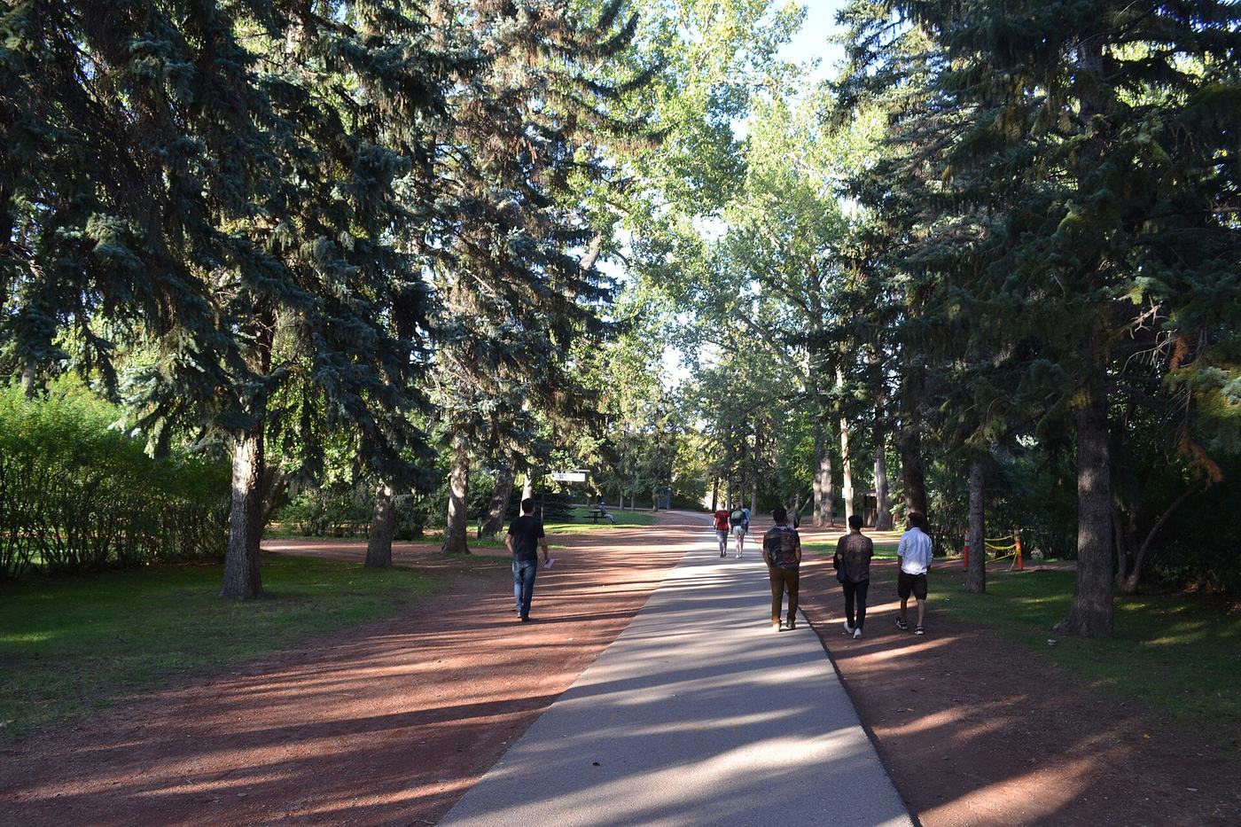
Edworthy Park and the Douglas Fir Trail

West Calgary, on the Bow

What it offersRiverside picnic meadows, Lawrey Gardens, and a trail that climbs through a stand of old Douglas fir on the escarpment, a rare forest this far east of the mountains.

  • The Douglas Fir Trail has stairs and steep sections.
Fish Creek Provincial Park
Photo: Bernard Spragg. NZ from Christchurch, New Zealand
06

Fish Creek Provincial Park

South Calgary

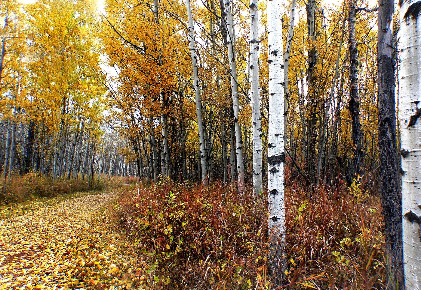
What it offersOne of the largest urban parks in Canada, over 13 square kilometres along Fish Creek to the Bow: aspen and spruce woods, the historic Bow Valley Ranch, and deer, owls and beavers close to the suburbs.

  • Free to visit; it is a provincial park inside the city.
Nose Hill Park
Photo: Oceanflynn
07

Nose Hill Park

North Calgary

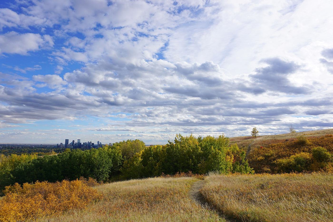
What it offersAbout 11 square kilometres of native grassland on a hill above the city. The wind, the sky and the whole Rocky Mountain front on the western horizon on a clear day.

  • There is no shade: bring water and a hat in summer.
Floating the Bow
Photo: Flickr user “Thank you for visiting my page”
08

Floating the Bow

From designated river access sites

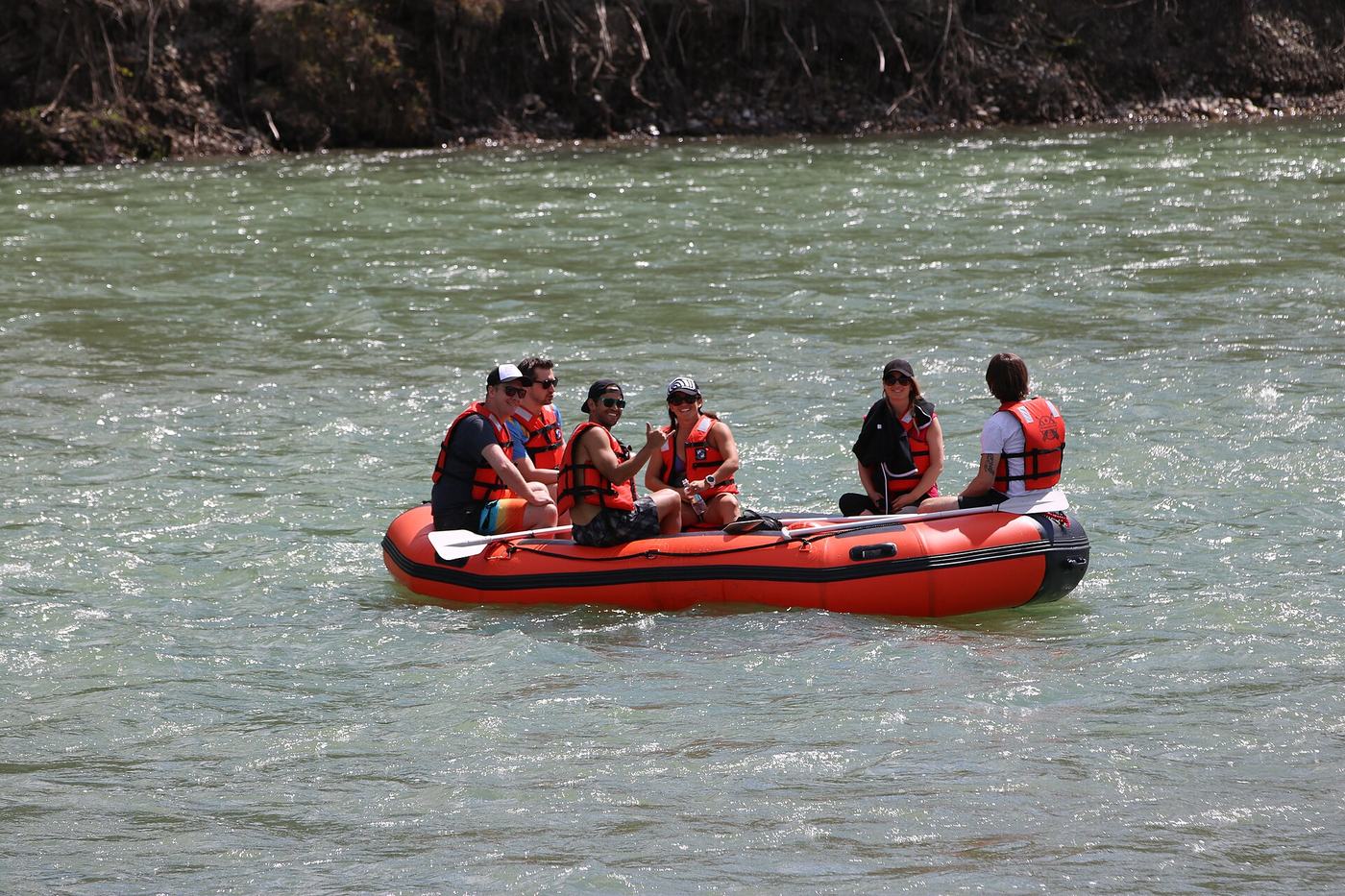
What it offersA summer raft trip through the city is a Calgary rite. Launch only from the City’s designated river access sites, plan your exit and a ride back before you start, and check the flow first: the river is cold and fast.

  • Life jackets are required by bylaw for everyone on board (fines up to $500).
  • Alcohol and drugs are not allowed on Calgary waterways.
  • Less experienced rafters should leave the river before Harvie Passage.

Plan it

Pathway map

The City’s pathway and bikeway map shows every route, washroom and closure.

www.calgary.ca/pathways ↗

Water safety

River advisories and the River Access map before you float.

www.calgary.ca/safety/river-floating.html ↗

Pick another Calgary